Land & Property
Plot identity, block, footprint, zoning, and an optional GeoJSON boundary. Status moves one stage at a time.
Where to find it: Left menu → Land & Property → Parcel Register
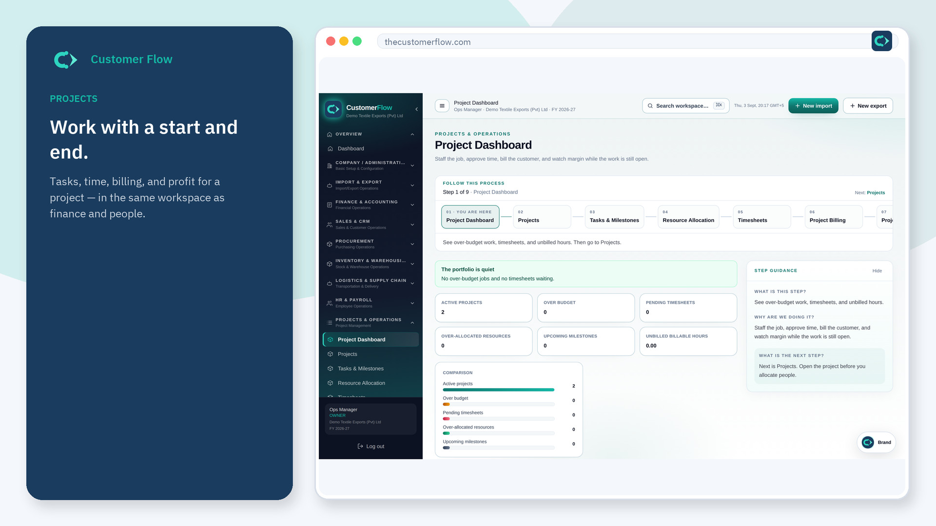
Step 1
Left menu → Land & Property → Parcel Register. If the name is missing, your role does not include it — ask an admin in Users & Roles.
Step 2
Save the plot as raw land. Surveyors move it under survey, executives approve it, then sales can allot it.
Step 3
Covered area cannot exceed length times width. A skipped stage is rejected.
Yes. Parcel Register is a signed-in workspace screen. This public page teaches the screen with a picture and a link to the feature video. It never shows another company’s data.
The left menu only shows screens your role may open. Ask a company admin to grant the matching permission, or to show you which role should own this step.
Only while it is still raw land. Later stages stay on the register.